
平定县 topographic map
Interactive map
Click on the map to display elevation.
About this map
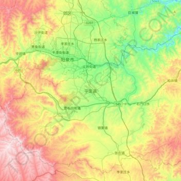
Name: 平定县 topographic map, elevation, terrain.
Location: 平定县, 阳泉市, 山西省, 045001, 中国 (37.64301 113.46469 37.96301 113.78469)
Average elevation: 902 m
Minimum elevation: 436 m
Maximum elevation: 1,547 m
Other topographic maps
Click on a map to view its topography, its elevation and its terrain.