Geolocate

Samhan topographic map

Click on the map to display elevation.

About this map

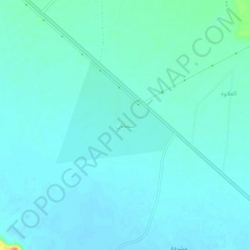
Name: Samhan topographic map, elevation, terrain.

Location: Samhan, Duruma, Riyadh Region, Saudi Arabia (24.65878 45.98181 24.69878 46.02181)

Average elevation: 664 m

Minimum elevation: 656 m

Maximum elevation: 711 m

Gear up for your next adventure:

🧳Compression Sacks - Maximize space in your backpack by shrinking gear
🧭GPS Outdoor Watch - Smart watch for navigation and fitness tracking in nature
🧣Merino Neck Gaiter - Protects against wind, sun, and cold at high altitudes
Camping Essentials - All-in-one gear for a comfortable camping trip
🥾Trail Hiking Shoes - Durable shoes designed for rugged trails

As an Amazon Associate, this site earns from qualifying purchases at no extra cost to you.