
Thank you for supporting this site ❤️
Make a donation
Make a donation
Gear up for your next adventure:
As an Amazon Associate, this site earns from qualifying purchases at no extra cost to you.
Lumbini topographic map
Click on the map to display elevation.
Thank you for supporting this site ❤️
Make a donation
Make a donation
Gear up for your next adventure:
As an Amazon Associate, this site earns from qualifying purchases at no extra cost to you.
About this map
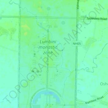
Name: Lumbini topographic map, elevation, terrain.
Location: Lumbini, Parsa, Rupandehi, Lumbini Province, 32914, Nepal (27.47232 83.26777 27.49232 83.28777)
Average elevation: 97 m
Minimum elevation: 92 m
Maximum elevation: 102 m
Thank you for supporting this site ❤️
Make a donation
Make a donation
Gear up for your next adventure:
As an Amazon Associate, this site earns from qualifying purchases at no extra cost to you.