Geolocate

Neunkirchen am Main topographic map

Click on the map to display elevation.

Neunkirchen am Main

Neunkirchen am Main (amtlich: Neunkirchen a.Main) ist ein Gemeindeteil des Markts Weidenberg im oberfränkischen Landkreis Bayreuth. Die Ortschaft liegt am Hang einer Anhöhe zwischen den Tälern des Roten Mains und der in ihn mündenden Ölschnitz.

About this map

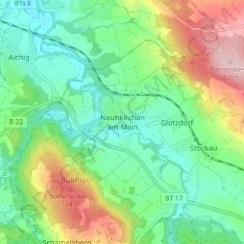
Name: Neunkirchen am Main topographic map, elevation, terrain.

Location: Neunkirchen am Main, Weidenberg, Weidenberg (VGem), Landkreis Bayreuth, Bayern, 95517, Deutschland (49.90245 11.62790 49.94245 11.66790)

Average elevation: 419 m

Minimum elevation: 345 m

Maximum elevation: 564 m

Gear up for your next adventure:

🧊Insulated Water Bottle - Keeps drinks cold in summer and prevents freezing in winter
🧦Outdoor Socks - Durable socks designed for hiking and outdoor sports
🥾Waterproof Trail Shoes - Shoes designed to handle wet terrain
Camping Essentials - All-in-one gear for a comfortable camping trip
🧢Outdoor Cap - Protective cap for sun and rain during hikes

As an Amazon Associate, this site earns from qualifying purchases at no extra cost to you.