Geolocate

Osterode topographic map

Click on the map to display elevation.

About this map

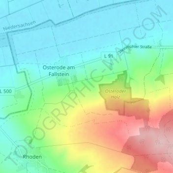
Name: Osterode topographic map, elevation, terrain.

Location: Osterode, Osterwieck, Landkreis Harz, Saxony-Anhalt, Germany (52.01062 10.64797 52.04883 10.71011)

Average elevation: 141 m

Minimum elevation: 83 m

Maximum elevation: 278 m

Gear up for your next adventure:

💧Collapsible Water Bottle - Space-saving water bottle for outdoor activities
🥾Mountain Hiking Boots - High-traction boots for rocky terrain
🧣Evaporative Cooling Towel - Beat the heat during intense summer climbs
🌬️Windproof Camp Stove - Efficient cooking even on exposed mountain peaks
🚲Handlebar Phone Mount - View topographic-map.com live while cycling

As an Amazon Associate, this site earns from qualifying purchases at no extra cost to you.