Geolocate

Cabcabon topographic map

Click on the map to display elevation.

About this map
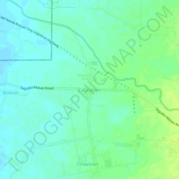
Name: Cabcabon topographic map, elevation, terrain.

Location: Cabcabon, Butuan, Caraga, Philippines (8.96980 125.55965 9.00980 125.59965)

Average elevation: 9 m

Minimum elevation: 2 m

Maximum elevation: 18 m

Other topographic maps

Click on a map to view its topography, its elevation and its terrain.

Taguibo Dam

Philippines > Butuan

Average elevation: 251 m

Taguibo Dam

Philippines > Butuan

Average elevation: 251 m

Taguibo Dam

Philippines > Butuan

Average elevation: 251 m

Gear up for your next adventure:

🧴Insect Repellent - Protect yourself from bugs during outdoor adventures
🧥Insulated Jacket - Keep warm in cold outdoor conditions
🥾Hiking Shoes - Durable and comfortable shoes for trail hiking
🗺️Topographic Maps - Detailed maps to explore trails, mountains, and wilderness areas
💧Hydration Bladder - Hands-free hydration solution for long treks

As an Amazon Associate, this site earns from qualifying purchases at no extra cost to you.