Geolocate

Stone Bluff topographic map

Click on the map to display elevation.

About this map

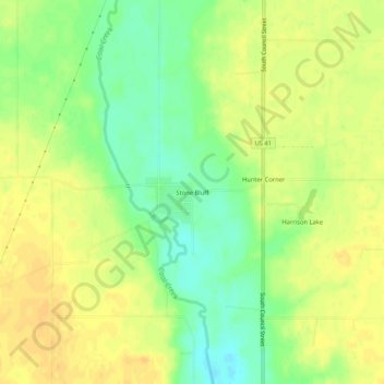
Name: Stone Bluff topographic map, elevation, terrain.

Location: Stone Bluff, Fountain County, Indiana, 47987, United States (40.15004 -87.27279 40.19004 -87.23279)

Average elevation: 200 m

Minimum elevation: 182 m

Maximum elevation: 211 m

Gear up for your next adventure:

🥫Freeze-Dried Meals - Lightweight, high-calorie nutrition for multi-day treks
🧢Outdoor Visor - Breathable visor for sunny hikes
🏃Hydration Running Vest - Carry water and maps close to your body for speed
🥤Collapsible Travel Cup - Saves space and weight in your mess kit
🧢Hiking Sun Hat - Wide-brimmed protection for exposed mountain ridges

As an Amazon Associate, this site earns from qualifying purchases at no extra cost to you.