Geolocate

Wild Peach topographic map

Click on the map to display elevation.

About this map

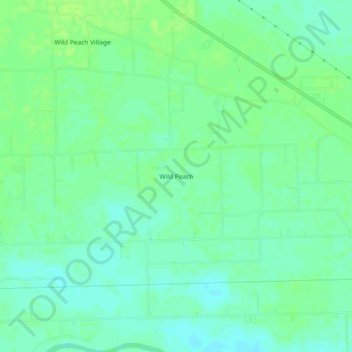
Name: Wild Peach topographic map, elevation, terrain.

Location: Wild Peach, Brazoria County, Texas, United States (29.04830 -95.64161 29.08830 -95.60161)

Average elevation: 8 m

Minimum elevation: 2 m

Maximum elevation: 14 m

Gear up for your next adventure:

🥾Waterproof Trail Shoes - Shoes designed to handle wet terrain
Camping Essentials - All-in-one gear for a comfortable camping trip
🧤Rechargeable Heated Gloves - Extreme warmth for Canadian winter expeditions
🚲Heavy Duty Bike Lock - Secure your bike at the trailhead or during stops
🥾Lightweight Hiking Boots - Boots for comfort and mobility on long hikes

As an Amazon Associate, this site earns from qualifying purchases at no extra cost to you.