Geolocate

Turrúcares topographic map

Click on the map to display elevation.

About this map

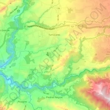
Name: Turrúcares topographic map, elevation, terrain.

Location: Turrúcares, Alajuela, Alajuela Province, 20111, Costa Rica (9.91424 -84.36794 9.96991 -84.27800)

Average elevation: 596 m

Minimum elevation: 302 m

Maximum elevation: 998 m

Other topographic maps

Click on a map to view its topography, its elevation and its terrain.

Poás

Costa Rica > Alajuela Province > Alajuela > Sarapiquí

Average elevation: 2,433 m

Carbonal

Costa Rica > Alajuela Province > Alajuela > San Isidro

Average elevation: 1,078 m

Gear up for your next adventure:

🥘Camping Cookware Set - Compact nesting pots and pans for trail cooking
🔦LED Flashlight - Powerful and long-lasting flashlight for camping and emergencies
🔦UV Flashlight - Detect minerals or specific insects in the dark
🥾Waterproof Hiking Shoes - Durable shoes for wet and rugged trails
🔭Compact Binoculars - Lightweight optics for scouting trails and wildlife

As an Amazon Associate, this site earns from qualifying purchases at no extra cost to you.