
Thank you for supporting this site ❤️
Make a donation
Make a donation
Gear up for your next adventure:
As an Amazon Associate, this site earns from qualifying purchases at no extra cost to you.
Tamarindos topographic map
Click on the map to display elevation.
Thank you for supporting this site ❤️
Make a donation
Make a donation
Gear up for your next adventure:
As an Amazon Associate, this site earns from qualifying purchases at no extra cost to you.
About this map
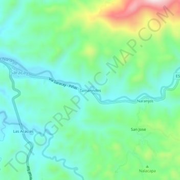
Name: Tamarindos topographic map, elevation, terrain.
Location: Tamarindos, Saracay, Piñas, El Oro, 070405, Ecuador (-3.66975 -79.86604 -3.62975 -79.82604)
Average elevation: 279 m
Minimum elevation: 163 m
Maximum elevation: 593 m
Thank you for supporting this site ❤️
Make a donation
Make a donation
Gear up for your next adventure:
As an Amazon Associate, this site earns from qualifying purchases at no extra cost to you.