Geolocate

Ganthem topographic map

Click on the map to display elevation.

About this map

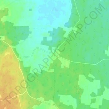
Name: Ganthem topographic map, elevation, terrain.

Location: Ganthem, Gotland Municipality, Gotland County, Sweden (57.49481 18.56196 57.53481 18.60196)

Average elevation: 24 m

Minimum elevation: 14 m

Maximum elevation: 41 m

Gear up for your next adventure:

💡Portable Camping Lamp - Rechargeable lamp for campsite lighting
🧭GPS Handheld Device - Reliable GPS navigation for outdoor adventures
🥾Durable Hiking Shoes - Long-lasting shoes for frequent hiking
Camping Coffee Maker - Brew fresh coffee anywhere on the topographic map
🧢Sun Hat - Wide-brim hat for sun protection

As an Amazon Associate, this site earns from qualifying purchases at no extra cost to you.