
Thank you for supporting this site ❤️
Make a donation
Make a donation
Gear up for your next adventure:
As an Amazon Associate, this site earns from qualifying purchases at no extra cost to you.
Salvenberg topographic map
Click on the map to display elevation.
Thank you for supporting this site ❤️
Make a donation
Make a donation
Gear up for your next adventure:
As an Amazon Associate, this site earns from qualifying purchases at no extra cost to you.
About this map
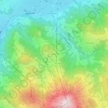
Name: Salvenberg topographic map, elevation, terrain.
Location: Salvenberg, Söll, Bezirk Kufstein, Tirol, 6306, Österreich (47.46326 12.17661 47.50326 12.21661)
Average elevation: 1,081 m
Minimum elevation: 679 m
Maximum elevation: 1,824 m
Thank you for supporting this site ❤️
Make a donation
Make a donation
Gear up for your next adventure:
As an Amazon Associate, this site earns from qualifying purchases at no extra cost to you.