Geolocate

Bamban topographic map

Click on the map to display elevation.

About this map

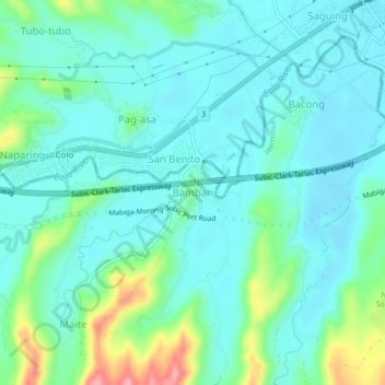
Name: Bamban topographic map, elevation, terrain.

Location: Bamban, Bataan, Central Luzon, 2110, Philippines (14.82300 120.40508 14.86300 120.44508)

Average elevation: 33 m

Minimum elevation: 7 m

Maximum elevation: 124 m

Gear up for your next adventure:

🥾Hiking Leggings - Comfortable leggings for outdoor activities
❄️Traction Ice Cleats - Slip-on spikes for icy trails and winter hiking
🧭GPS Handheld Device - Reliable GPS navigation for outdoor adventures
🛁Quick-Dry Microfiber Towel - Space-saving towel that dries rapidly on the move
💡Portable Camping Lamp - Rechargeable lamp for campsite lighting

As an Amazon Associate, this site earns from qualifying purchases at no extra cost to you.