
Brandenbourg topographic map
Interactive map
Click on the map to display elevation.
About this map
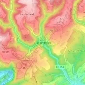
Name: Brandenbourg topographic map, elevation, terrain.
Location: Brandenbourg, Tandel, Canton Vianden, 9360, Luxembourg (49.89112 6.11891 49.93112 6.15891)
Average elevation: 363 m
Minimum elevation: 201 m
Maximum elevation: 484 m