Geolocate

Moranhat topographic map

Click on the map to display elevation.

About this map

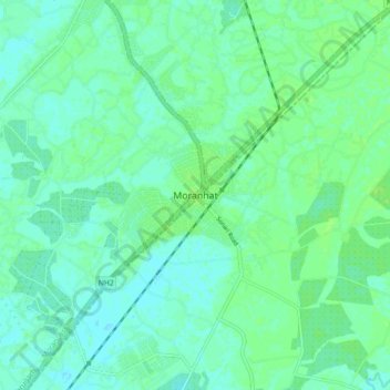
Name: Moranhat topographic map, elevation, terrain.

Location: Moranhat, Dibrugarh, Assam, 785670, India (27.14158 94.87321 27.22158 94.95321)

Average elevation: 102 m

Minimum elevation: 98 m

Maximum elevation: 107 m

Gear up for your next adventure:

🔥Emergency Fire Starter - Reliable ignition source for all weather conditions
🥾Mountain Hiking Boots - High-traction boots for rocky terrain
💡LED Camping Lantern - Illuminate your campsite with long-lasting lanterns
Backpacking Tent - Lightweight tent for long-distance hiking trips
🥾Hiking Gaiters - Protect legs and shoes from mud, snow, and debris

As an Amazon Associate, this site earns from qualifying purchases at no extra cost to you.