
Kampung Amar Penghulu topographic map
Interactive map
Click on the map to display elevation.
About this map
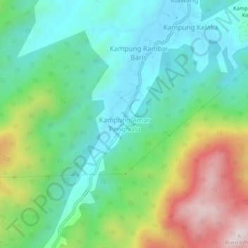
Name: Kampung Amar Penghulu topographic map, elevation, terrain.
Location: Kampung Amar Penghulu, Jelebu, Negeri Sembilan, Malaysia (2.85660 101.99924 2.89660 102.03924)
Average elevation: 343 m
Minimum elevation: 140 m
Maximum elevation: 799 m