
Thank you for supporting this site ❤️
Make a donation
Make a donation
Gear up for your next adventure:
As an Amazon Associate, this site earns from qualifying purchases at no extra cost to you.
Umm al `Arad topographic map
Click on the map to display elevation.
Thank you for supporting this site ❤️
Make a donation
Make a donation
Gear up for your next adventure:
As an Amazon Associate, this site earns from qualifying purchases at no extra cost to you.
About this map
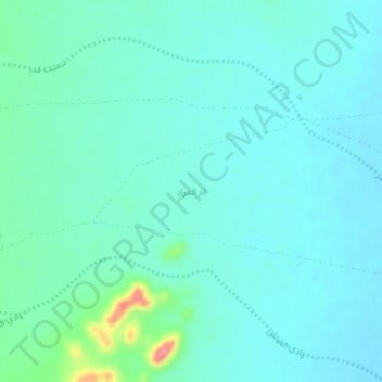
Name: Umm al `Arad topographic map, elevation, terrain.
Location: Umm al `Arad, Al Bukayriyah, Al-Qassim Province, Saudi Arabia (26.43957 42.72698 26.47957 42.76698)
Average elevation: 929 m
Minimum elevation: 911 m
Maximum elevation: 1,018 m
Thank you for supporting this site ❤️
Make a donation
Make a donation
Gear up for your next adventure:
As an Amazon Associate, this site earns from qualifying purchases at no extra cost to you.