
Las Tortugas topographic map
Interactive map
Click on the map to display elevation.
About this map
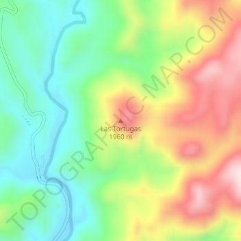
Name: Las Tortugas topographic map, elevation, terrain.
Location: Las Tortugas, Urique, Chihuahua, México (27.32538 -108.02404 27.32548 -108.02394)
Average elevation: 1,792 m
Minimum elevation: 1,633 m
Maximum elevation: 2,018 m