Geolocate

China Ranch topographic map

Click on the map to display elevation.

About this map

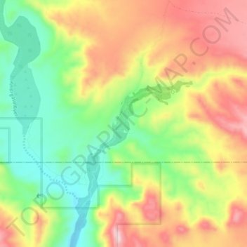
Name: China Ranch topographic map, elevation, terrain.

Location: China Ranch, Inyo County, California, United States (35.77969 -116.21358 35.81969 -116.17358)

Average elevation: 446 m

Minimum elevation: 310 m

Maximum elevation: 593 m

Gear up for your next adventure:

🥾Hiking Shorts - Breathable shorts suitable for summer hikes
🕶️Polarized Sunglasses - Reduces glare from snow and water at high elevations
🔭Outdoor Binoculars - Lightweight binoculars for birdwatching and hiking
🧢Beanie Hat - Keep your head warm in cold weather
🧤Rechargeable Heated Gloves - Extreme warmth for Canadian winter expeditions

As an Amazon Associate, this site earns from qualifying purchases at no extra cost to you.