Geolocate

Jaltenango topographic map

Click on the map to display elevation.

About this map

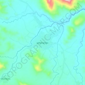
Name: Jaltenango topographic map, elevation, terrain.

Location: Jaltenango, Ángel Albino Corzo, Chiapas, Mexico (15.83183 -92.76267 15.91183 -92.68267)

Average elevation: 665 m

Minimum elevation: 571 m

Maximum elevation: 1,267 m

Gear up for your next adventure:

🥾Trekking Boots - Durable boots for long-distance trekking
Lightweight Backpacking Tent - Compact tent for efficient hiking trips
🧦Thermal Socks - Warm socks for winter hiking or camping
🥾Trail Hiking Socks - Comfortable socks to prevent blisters and fatigue
🥾Mountaineering Boots - Supportive boots for climbing and high-altitude hiking

As an Amazon Associate, this site earns from qualifying purchases at no extra cost to you.