Geolocate

Sunjia topographic map

Click on the map to display elevation.

About this map

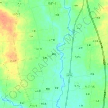
Name: Sunjia topographic map, elevation, terrain.

Location: Sunjia, Xichuan County, Nanyang, Henan, China (32.80295 111.74414 32.84295 111.78414)

Average elevation: 160 m

Minimum elevation: 141 m

Maximum elevation: 187 m

Gear up for your next adventure:

Camping Tent - Weather-resistant tents suitable for 2 to 6 people
📷Outdoor Action Camera - Capture high-elevation views and rugged adventures
🥤Collapsible Travel Cup - Saves space and weight in your mess kit
Camping Essentials - All-in-one gear for a comfortable camping trip
🥾Waterproof Hiking Shoes - Durable shoes for wet and rugged trails

As an Amazon Associate, this site earns from qualifying purchases at no extra cost to you.