Geolocate

Tagolango topographic map

Click on the map to display elevation.

About this map

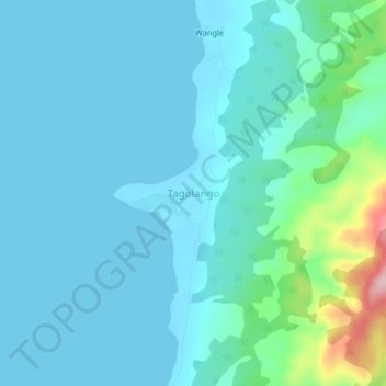
Name: Tagolango topographic map, elevation, terrain.

Location: Tagolango, Palawan, Mimaropa, Philippines (8.44336 117.19773 8.48336 117.23773)

Average elevation: 31 m

Minimum elevation: 0 m

Maximum elevation: 220 m

Gear up for your next adventure:

🥾Trail Hiking Socks - Comfortable socks to prevent blisters and fatigue
🔪Outdoor Multitool - Versatile tool for repairs and food prep in the wild
💧Collapsible Water Bottle - Space-saving water bottle for outdoor activities
🦶Anti-Blister Balm - Prevents friction and hotspots during long ascents
🥾Light Trekking Boots - Supportive boots for multi-day treks

As an Amazon Associate, this site earns from qualifying purchases at no extra cost to you.