Geolocate

taknar topographic map

Click on the map to display elevation.

About this map

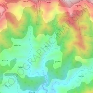
Name: taknar topographic map, elevation, terrain.

Location: taknar, Kanda, Bageshwar, Uttarakhand, India (29.80871 79.96191 29.84871 80.00191)

Average elevation: 1,545 m

Minimum elevation: 1,214 m

Maximum elevation: 2,077 m

Gear up for your next adventure:

🕯️Camping Lantern - Illuminates your entire campsite with high-efficiency LEDs
🥾Lightweight Hiking Shoes - Comfortable shoes for day hikes
🛌Insulated Sleeping Pad - Critical thermal barrier between you and the cold ground
🥾Trail Running Shoes - Lightweight and durable shoes for trail running
🧤Insulated Winter Gloves - Heavy-duty protection for sub-zero Canadian adventures

As an Amazon Associate, this site earns from qualifying purchases at no extra cost to you.