Geolocate

Goler Heights topographic map

Click on the map to display elevation.

About this map

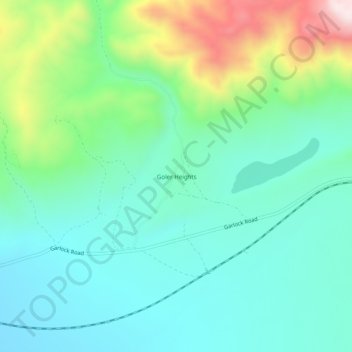
Name: Goler Heights topographic map, elevation, terrain.

Location: Goler Heights, Kern County, California, United States (35.40691 -117.76590 35.44691 -117.72590)

Average elevation: 822 m

Minimum elevation: 683 m

Maximum elevation: 1,211 m

Gear up for your next adventure:

🔨Vehicle Emergency Tool - Safety tool for remote road trips to trailheads
🧼Travel Hand Sanitizer - Keep hands clean when water is scarce
🚲Bike Repair Kit - Essential tools for on-trail mechanical issues
🥾Mountain Hiking Boots - High-traction boots for rocky terrain
🧣Merino Neck Gaiter - Protects against wind, sun, and cold at high altitudes

As an Amazon Associate, this site earns from qualifying purchases at no extra cost to you.