

Bellpuig topographic map
Click on the map to display elevation.
Bellpuig
El relieve del municipio es predominantemente llano, discurriendo en su territorio el Canal de Urgel, necesario para el regadío, además del río Corb y varias acequias. El sector del término que es un poco montañoso es el que está ocupado por el municipio y las colinas que se extienden al este. La altitud oscila entre los 349 metros cerca del pueblo (pico Bellpuig) y los 276 metros a orillas del río Corb. El pueblo se alza a 308 metros sobre el nivel del mar.
About this map
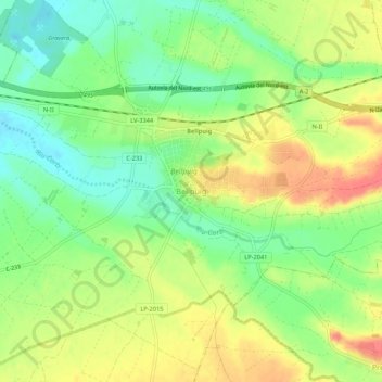
Name: Bellpuig topographic map, elevation, terrain.
Location: Bellpuig, Urgel, Lérida, Cataluña, 25250, España (41.60544 0.99171 41.64544 1.03171)
Average elevation: 302 m
Minimum elevation: 274 m
Maximum elevation: 333 m