Geolocate

Pinangsia topographic map

Click on the map to display elevation.

About this map

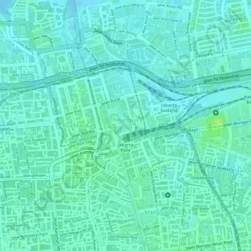
Name: Pinangsia topographic map, elevation, terrain.

Location: Pinangsia, Taman Sari, West Jakarta, Special capital Region of Jakarta, Java, 11110, Indonesia (-6.14283 106.81038 -6.12960 106.82393)

Average elevation: 5 m

Minimum elevation: -2 m

Maximum elevation: 15 m

Other topographic maps

Click on a map to view its topography, its elevation and its terrain.

Gear up for your next adventure:

🥾Trail Hiking Boots - Supportive boots for rough trails
🦟Insect Repellent - Keep mosquitoes and black flies away in wooded areas
🧭GPS Tracker - Track your location in remote areas safely
🧭Orienteering Kit - Tools for map reading and navigation in the wild
Backpacking Tent - Lightweight tent for long-distance hiking trips

As an Amazon Associate, this site earns from qualifying purchases at no extra cost to you.