
Thank you for supporting this site ❤️
Make a donation
Make a donation
Gear up for your next adventure:
As an Amazon Associate, this site earns from qualifying purchases at no extra cost to you.
McDonalds topographic map
Click on the map to display elevation.
Thank you for supporting this site ❤️
Make a donation
Make a donation
Gear up for your next adventure:
As an Amazon Associate, this site earns from qualifying purchases at no extra cost to you.
About this map
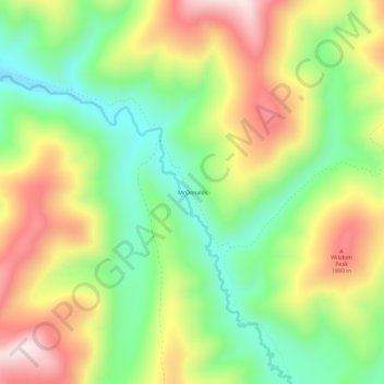
Name: McDonalds topographic map, elevation, terrain.
Location: McDonalds, Shoshone County, Idaho, United States (47.01436 -115.17236 47.05436 -115.13236)
Average elevation: 1,692 m
Minimum elevation: 1,473 m
Maximum elevation: 1,971 m
Thank you for supporting this site ❤️
Make a donation
Make a donation
Gear up for your next adventure:
As an Amazon Associate, this site earns from qualifying purchases at no extra cost to you.