Geolocate

Oran topographic map

Click on the map to display elevation.

About this map

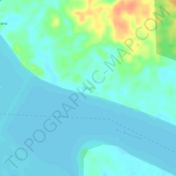
Name: Oran topographic map, elevation, terrain.

Location: Oran, Las Amazonas, Province of Maynas, Loreto, Peru (-3.49860 -72.52713 -3.45860 -72.48713)

Average elevation: 85 m

Minimum elevation: 76 m

Maximum elevation: 117 m

Gear up for your next adventure:

🔨Vehicle Emergency Tool - Safety tool for remote road trips to trailheads
🥾Lightweight Hiking Boots - Boots for comfort and mobility on long hikes
🥫Freeze-Dried Meals - Lightweight, high-calorie nutrition for multi-day treks
🛁Quick-Dry Microfiber Towel - Space-saving towel that dries rapidly on the move
Camping Tent - Weather-resistant tents suitable for 2 to 6 people

As an Amazon Associate, this site earns from qualifying purchases at no extra cost to you.