
Lardosa topographic map
Interactive map
Click on the map to display elevation.
About this map
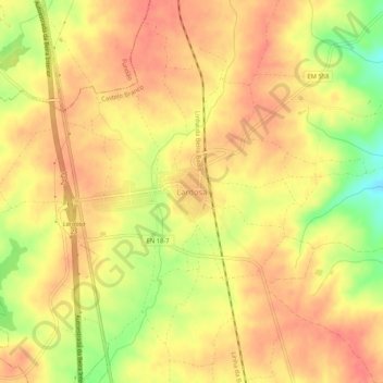
Name: Lardosa topographic map, elevation, terrain.
Location: Lardosa, Castelo Branco, Portugal (39.96818 -7.46326 40.00818 -7.42326)
Average elevation: 397 m
Minimum elevation: 356 m
Maximum elevation: 417 m