
Thank you for supporting this site ❤️
Make a donation
Make a donation
Gear up for your next adventure:
As an Amazon Associate, this site earns from qualifying purchases at no extra cost to you.
Pradeltorno topographic map
Click on the map to display elevation.
Thank you for supporting this site ❤️
Make a donation
Make a donation
Gear up for your next adventure:
As an Amazon Associate, this site earns from qualifying purchases at no extra cost to you.
About this map
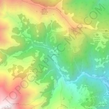
Name: Pradeltorno topographic map, elevation, terrain.
Location: Pradeltorno, Angrogna, Torino, Piemonte, Italia (44.84728 7.15530 44.88728 7.19530)
Average elevation: 1,361 m
Minimum elevation: 718 m
Maximum elevation: 2,251 m
Thank you for supporting this site ❤️
Make a donation
Make a donation
Gear up for your next adventure:
As an Amazon Associate, this site earns from qualifying purchases at no extra cost to you.