
Cordeaux topographic map
Interactive map
Click on the map to display elevation.
About this map
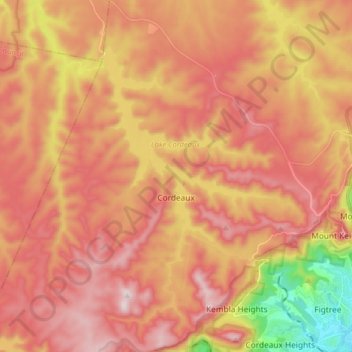
Name: Cordeaux topographic map, elevation, terrain.
Average elevation: 348 m
Minimum elevation: 5 m
Maximum elevation: 560 m
Other topographic maps
Click on a map to view its topography, its elevation and its terrain.
Wollongong
Australie > Nouvelle Galles du Sud > Wollongong City Council
Wollongong, Wollongong City Council, Nouvelle Galles du Sud, 2500, Australie
Average elevation: 16 m