
Thank you for supporting this site ❤️
Make a donation
Make a donation
Gear up for your next adventure:
As an Amazon Associate, this site earns from qualifying purchases at no extra cost to you.
Yazılı topographic map
Click on the map to display elevation.
Thank you for supporting this site ❤️
Make a donation
Make a donation
Gear up for your next adventure:
As an Amazon Associate, this site earns from qualifying purchases at no extra cost to you.
About this map
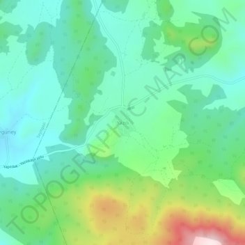
Name: Yazılı topographic map, elevation, terrain.
Location: Yazılı, Han, Eskişehir, Central Anatolia Region, Turkey (39.18142 30.69515 39.22142 30.73515)
Average elevation: 1,329 m
Minimum elevation: 1,205 m
Maximum elevation: 1,653 m
Thank you for supporting this site ❤️
Make a donation
Make a donation
Gear up for your next adventure:
As an Amazon Associate, this site earns from qualifying purchases at no extra cost to you.