
Walston Switch topographic map
Interactive map
Click on the map to display elevation.
About this map
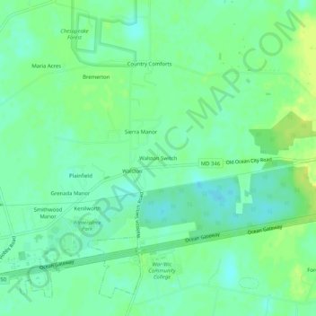
Name: Walston Switch topographic map, elevation, terrain.
Average elevation: 18 m
Minimum elevation: 10 m
Maximum elevation: 26 m
Other topographic maps
Click on a map to view its topography, its elevation and its terrain.
Quantico
United States > Maryland > Wicomico County
Quantico, Wicomico County, Maryland, United States
Average elevation: 6 m
Stellas Venture
United States > Maryland > Wicomico County
Stellas Venture, Wicomico County, Maryland, United States
Average elevation: 19 m
Salisbury
United States > Maryland > Wicomico County > Salisbury
Salisbury, Wicomico County, Maryland, 21803, United States
Average elevation: 11 m
Fruitland
United States > Maryland > Wicomico County
Fruitland, Wicomico County, Maryland, 21826, United States
Average elevation: 11 m
Salisbury
United States > Maryland > Wicomico County
Salisbury, Wicomico County, Maryland, United States
Average elevation: 12 m
Delmar
United States > Maryland > Wicomico County
Delmar, Wicomico County, Maryland, 19940, United States
Average elevation: 15 m