Geolocate

Algarrobo topographic map

Click on the map to display elevation.

About this map

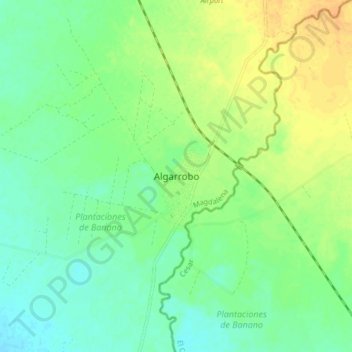
Name: Algarrobo topographic map, elevation, terrain.

Location: Algarrobo, Magdalena, RAP Caribe, 422740, Colombia (10.15141 -74.10182 10.23141 -74.02182)

Average elevation: 108 m

Minimum elevation: 95 m

Maximum elevation: 126 m

Gear up for your next adventure:

💡LED Camping Lantern - Illuminate your campsite with long-lasting lanterns
🍽️Titanium Camping Spork - Ultralight and indestructible eating utensil
🛶Kayak Dry Bag - Waterproof storage for kayaking adventures
🥾Trail Hiking Socks - Comfortable socks to prevent blisters and fatigue
🔪Outdoor Multitool - Versatile tool for repairs and food prep in the wild

As an Amazon Associate, this site earns from qualifying purchases at no extra cost to you.