
Senyubuk topographic map
Interactive map
Click on the map to display elevation.
About this map
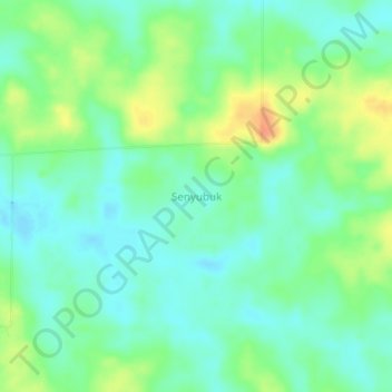
Name: Senyubuk topographic map, elevation, terrain.
Location: Senyubuk, Belitung Timur, Bangka-Belitung Islands, Indonesia (-2.76885 108.02884 -2.72885 108.06884)
Average elevation: 18 m
Minimum elevation: 4 m
Maximum elevation: 44 m
Other topographic maps
Click on a map to view its topography, its elevation and its terrain.
Selingsing
Indonesia > Bangka-Belitung Islands > Belitung Timur
Selingsing, Belitung Timur, Bangka-Belitung Islands, Indonesia
Average elevation: 10 m