Geolocate

Provence topographic map

Click on the map to display elevation.

About this map

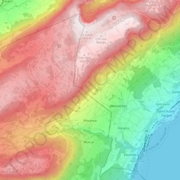
Name: Provence topographic map, elevation, terrain.

Location: Provence, District du Jura-Nord vaudois, Vaud, 1428, Switzerland (46.87235 6.63021 46.93609 6.74011)

Average elevation: 971 m

Minimum elevation: 422 m

Maximum elevation: 1,459 m

Other topographic maps

Click on a map to view its topography, its elevation and its terrain.

Gear up for your next adventure:

🧢Outdoor Visor - Breathable visor for sunny hikes
🧭GPS Handheld Device - Reliable GPS navigation for outdoor adventures
👖Convertible Hiking Pants - Zip-off legs to adapt to changing weather conditions
💡LED Headlamp - Hands-free illumination for night hiking and camping
🕶️Polarized Sunglasses - Reduces glare from snow and water at high elevations

As an Amazon Associate, this site earns from qualifying purchases at no extra cost to you.