Geolocate

Weickersdorf topographic map

Click on the map to display elevation.

About this map

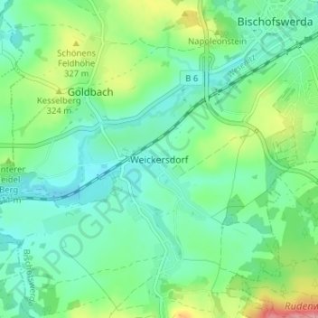
Name: Weickersdorf topographic map, elevation, terrain.

Location: Weickersdorf, Bischofswerda, Bautzen, Saxony, 01877, Germany (51.09037 14.13627 51.13037 14.17627)

Average elevation: 299 m

Minimum elevation: 270 m

Maximum elevation: 373 m

Gear up for your next adventure:

🛶Kayak Accessories - Essential gear for safe and fun kayaking adventures
🔭Compact Monocular - One-handed bird watching and trail spotting
🧼Biodegradable Camp Soap - Environmentally friendly cleaning for gear and body
🥾Light Trekking Boots - Supportive boots for multi-day treks
🔦LED Headlamp - Hands-free lighting for early morning starts or late finishes

As an Amazon Associate, this site earns from qualifying purchases at no extra cost to you.