Geolocate

Majush Entsa topographic map

Click on the map to display elevation.

About this map

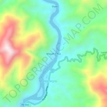
Name: Majush Entsa topographic map, elevation, terrain.

Location: Majush Entsa, Montenegro, Aramango, Bagua, Amazonas, Perú (-5.31372 -78.44711 -5.27372 -78.40711)

Average elevation: 535 m

Minimum elevation: 308 m

Maximum elevation: 995 m

Gear up for your next adventure:

👟Trail Running Shoes - Agile footwear for fast-paced topographic exploration
🥾Waterproof Trail Shoes - Shoes designed to handle wet terrain
🥾Approach Boots - Comfortable boots for hiking and climbing approaches
🛰️Satellite Messenger - Emergency communication for areas with no cell service
🥾Waterproof Hiking Boots - Essential footwear for rugged terrain and wet Canadian trails

As an Amazon Associate, this site earns from qualifying purchases at no extra cost to you.