Geolocate

Asoli topographic map

Click on the map to display elevation.

About this map

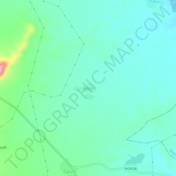
Name: Asoli topographic map, elevation, terrain.

Location: Asoli, Pusad, Yavatmal District, Maharashtra, India (19.78099 77.59965 19.82099 77.63965)

Average elevation: 336 m

Minimum elevation: 303 m

Maximum elevation: 463 m

Gear up for your next adventure:

🧢Beanie Hat - Keep your head warm in cold weather
👖Convertible Hiking Pants - Zip-off legs to adapt to changing weather conditions
🕶️Polarized Sunglasses - Reduces glare from snow and water at high elevations
🥾Trekking Boots - Durable boots for long-distance trekking
🔭Outdoor Binoculars - Lightweight binoculars for birdwatching and hiking

As an Amazon Associate, this site earns from qualifying purchases at no extra cost to you.