Geolocate

Chisquio topographic map

Click on the map to display elevation.

About this map

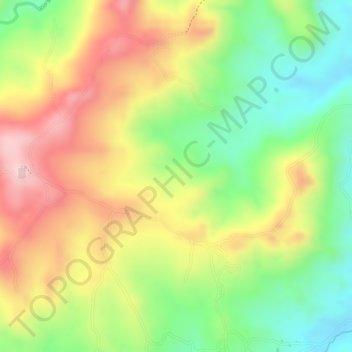
Name: Chisquio topographic map, elevation, terrain.

Location: Chisquio, El Tambo, Centro, Cauca, Colombia (2.49052 -76.86958 2.51052 -76.84958)

Average elevation: 1,772 m

Minimum elevation: 1,643 m

Maximum elevation: 1,900 m

Gear up for your next adventure:

🥾Light Trekking Boots - Supportive boots for multi-day treks
🪑Ultralight Camping Stool - Compact seating for rest stops during long hikes
🧥Ultralight Puffy Jacket - Maximum warmth that packs down to the size of an orange
🔭Compact Monocular - One-handed bird watching and trail spotting
🥾Waterproof Hiking Shoes - Durable shoes for wet and rugged trails

As an Amazon Associate, this site earns from qualifying purchases at no extra cost to you.