Geolocate

Lake Jordan topographic map

Click on the map to display elevation.

About this map

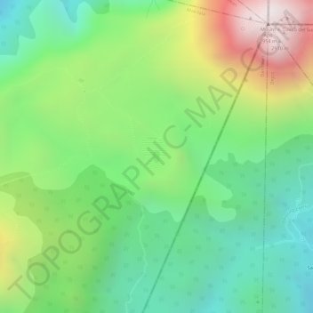
Name: Lake Jordan topographic map, elevation, terrain.

Location: Lake Jordan, Makilala, North Cotabato, 9401, Philippines (6.97524 125.26077 6.97628 125.26138)

Average elevation: 2,383 m

Minimum elevation: 2,034 m

Maximum elevation: 2,931 m

Gear up for your next adventure:

🧥Waterproof Jacket - Lightweight rain jackets for hiking and outdoor activities
💡LED Headlamp - Hands-free illumination for night hiking and camping
❄️Traction Ice Cleats - Slip-on spikes for icy trails and winter hiking
🎒Hiking Daypack - Lightweight and durable backpacks for day trips and excursions
Camping Coffee Maker - Brew fresh coffee anywhere on the topographic map

As an Amazon Associate, this site earns from qualifying purchases at no extra cost to you.