Geolocate

Bray topographic map

Click on the map to display elevation.

About this map
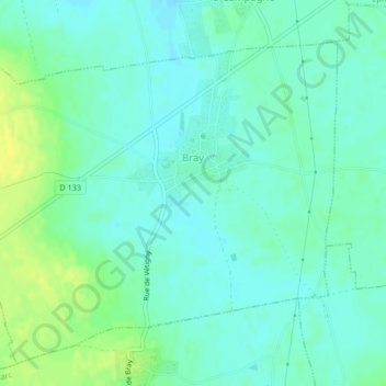
Name: Bray topographic map, elevation, terrain.

Location: Bray, Bernay, Eure, Normandy, Metropolitan France, 27170, France (49.09207 0.81552 49.11609 0.85703)

Average elevation: 150 m

Minimum elevation: 143 m

Maximum elevation: 163 m

Gear up for your next adventure:

🥫Freeze-Dried Meals - Lightweight, high-calorie nutrition for multi-day treks
❄️Traction Ice Cleats - Slip-on spikes for icy trails and winter hiking
🥾Hiking Boots - Sturdy boots providing ankle support and traction on rugged trails
🥾Mountain Trail Shoes - High-traction shoes for mountain trails
🦶Anti-Blister Balm - Prevents friction and hotspots during long ascents

As an Amazon Associate, this site earns from qualifying purchases at no extra cost to you.