Geolocate

Uchiza topographic map

Click on the map to display elevation.

About this map

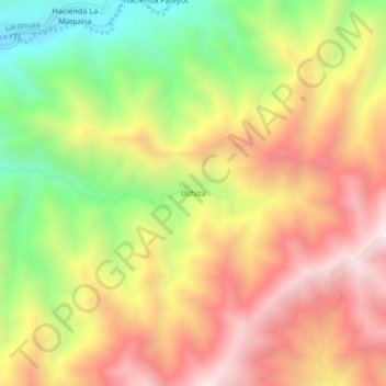
Name: Uchiza topographic map, elevation, terrain.

Location: Uchiza, Ocaña, Lucanas, Ayacucho, Perú (-14.52307 -75.08363 -14.48307 -75.04363)

Average elevation: 1,234 m

Minimum elevation: 675 m

Maximum elevation: 1,732 m

Gear up for your next adventure:

Camping Tent - Weather-resistant tents suitable for 2 to 6 people
Lightweight Backpacking Tent - Compact tent for efficient hiking trips
🥾Trail Running Boots - Durable shoes designed for trail running
🥘Camping Cookware Set - Compact nesting pots and pans for trail cooking
🛶Waterproof Dry Bags - Keep electronics and clothes dry during river crossings

As an Amazon Associate, this site earns from qualifying purchases at no extra cost to you.