
Puerto Santander topographic map
Interactive map
Click on the map to display elevation.
About this map
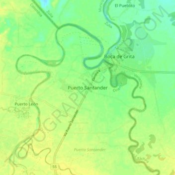
Name: Puerto Santander topographic map, elevation, terrain.
Location: Puerto Santander, Oriental, Norte de Santander, Colombia (8.31466 -72.45459 8.39466 -72.37459)
Average elevation: 52 m
Minimum elevation: 41 m
Maximum elevation: 59 m