Geolocate

Kharibari topographic map

Click on the map to display elevation.

About this map

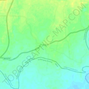
Name: Kharibari topographic map, elevation, terrain.

Location: Kharibari, Darjeeling District, West Bengal, 734427, India (26.53563 88.17080 26.57563 88.21080)

Average elevation: 88 m

Minimum elevation: 80 m

Maximum elevation: 97 m

Gear up for your next adventure:

🔦LED Headtorch - Bright and durable light for night activities
🧥Thermal Layer - Insulating layer for cold outdoor conditions
🚑Survival Whistle - Signal for help across long distances in mountains
🧥Waterproof Jacket - Lightweight rain jackets for hiking and outdoor activities
🔋Lithium AA Batteries - Long-lasting power that performs in extreme cold

As an Amazon Associate, this site earns from qualifying purchases at no extra cost to you.