Geolocate

Kuttivattom topographic map

Click on the map to display elevation.

About this map
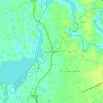
Name: Kuttivattom topographic map, elevation, terrain.

Location: Kuttivattom, Karunagappally, Kollam, Kerala, 690536, India (9.01033 76.52293 9.05033 76.56293)

Average elevation: 8 m

Minimum elevation: -2 m

Maximum elevation: 17 m

Gear up for your next adventure:

🧼Travel Hand Sanitizer - Keep hands clean when water is scarce
🔪Outdoor Multitool - Versatile tool for repairs and food prep in the wild
🔋Emergency Crank Radio - Weather alerts and power without needing batteries
👟Sport Hiking Sandals - Breathable footwear for water crossings and camp rest
🩹Moleskin Blister Pads - Direct protection for painful foot pressure points

As an Amazon Associate, this site earns from qualifying purchases at no extra cost to you.