Geolocate

Lupton topographic map

Click on the map to display elevation.

About this map
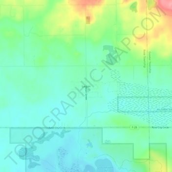
Name: Lupton topographic map, elevation, terrain.

Location: Lupton, Rose Township, Ogemaw County, Michigan, 48635, United States (44.41113 -84.04583 44.45113 -84.00583)

Average elevation: 288 m

Minimum elevation: 260 m

Maximum elevation: 363 m

Other topographic maps

Click on a map to view its topography, its elevation and its terrain.

Gear up for your next adventure:

🚑Survival Whistle - Signal for help across long distances in mountains
🥾Mountain Trail Shoes - High-traction shoes for mountain trails
💡Compact LED Flashlight - Powerful and portable flashlight for outdoor use
⛺Bushcraft Tarp - Versatile emergency shelter or gear protection
🥾Trekking Boots - Durable boots for long-distance trekking

As an Amazon Associate, this site earns from qualifying purchases at no extra cost to you.