Geolocate

Saint-Magloire topographic map

Click on the map to display elevation.

About this map
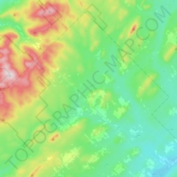
Name: Saint-Magloire topographic map, elevation, terrain.

Location: Saint-Magloire, Les Etchemins, Chaudiere-Appalaches, Quebec, G0R 1T0, Canada (46.50665 -70.44517 46.67664 -70.16162)

Average elevation: 505 m

Minimum elevation: 353 m

Maximum elevation: 915 m

Les Etchemins trails, hiking, mountain biking, running and outdoor activities

Gear up for your next adventure:

🩹Moleskin Blister Pads - Direct protection for painful foot pressure points
👟Leg Gaiters - Keep debris, mud, and snow out of your boots
🧭GPS Outdoor Watch - Smart watch for navigation and fitness tracking in nature
🧰Emergency Multi-Tool - Compact multi-tool for outdoor survival
🥾Hiking Boots - Sturdy boots providing ankle support and traction on rugged trails

As an Amazon Associate, this site earns from qualifying purchases at no extra cost to you.