
Saint-Magloire topographic map
Interactive map
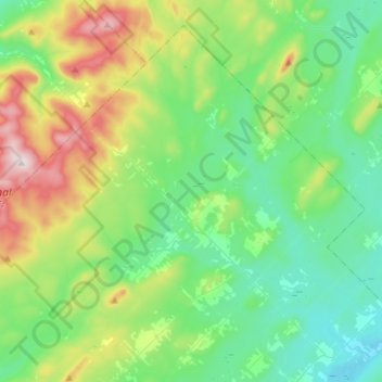
Click on the map to display elevation.
About this map
Name: Saint-Magloire topographic map, elevation, terrain.
Average elevation: 505 m
Minimum elevation: 353 m
Maximum elevation: 915 m
Les Etchemins trails, hiking, mountain biking, running and outdoor activities