
Beericheri topographic map
Click on the map to display elevation.
About this map
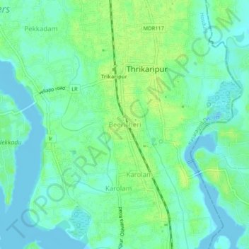
Name: Beericheri topographic map, elevation, terrain.
Location: Beericheri, Hosdurg, Kasaragod District, Kerala, 671311, India (12.11409 75.15732 12.15409 75.19732)
Average elevation: 7 m
Minimum elevation: -5 m
Maximum elevation: 14 m